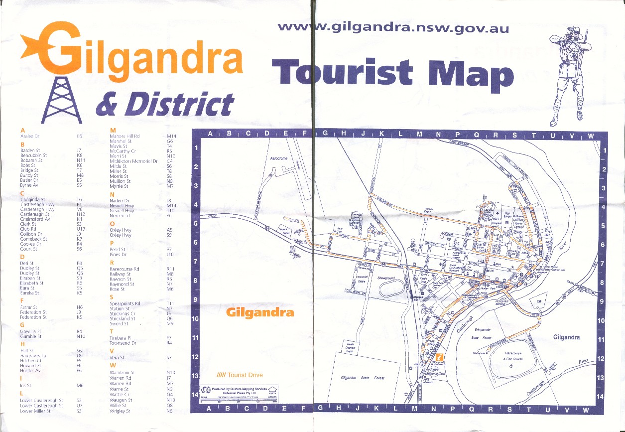
This is a reduced scan of the map given ... Gilgandra was known as the town-of-windmills ... not so many visible now ... but love the 'G' logo windmill ... ;=))
The back is a map of the district, for some 20 Km, plus, around the area ... I travelled out to Bidden, crossed to Bearbong ... some woolshed photos ... Blackcreek Bus Road ... so really re-visited the area I spent what seemed like an eternity, to a growing child ... ;=))
Another, black-and-white, map can be found at http://www.gilgandra.nsw.gov.au/images/maps/town_map.jpg ...
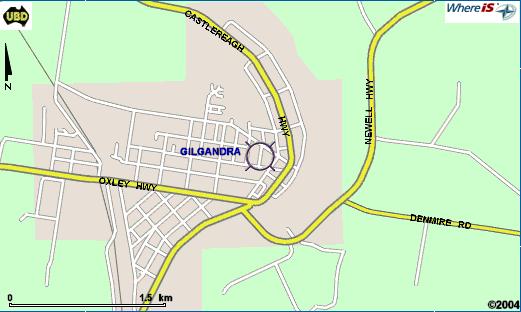
If you just want to see the highways then ... another Sensis -
WhereIS product ...